
Description
| Property Details | |
|---|---|
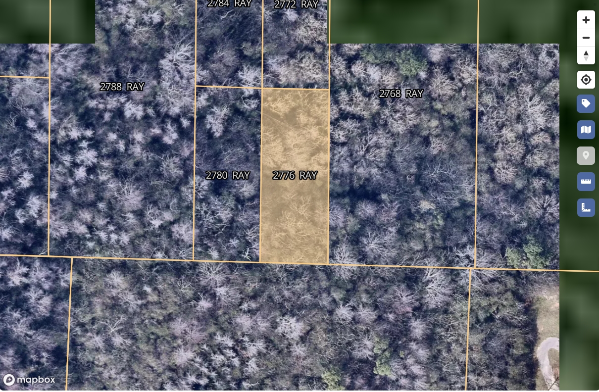
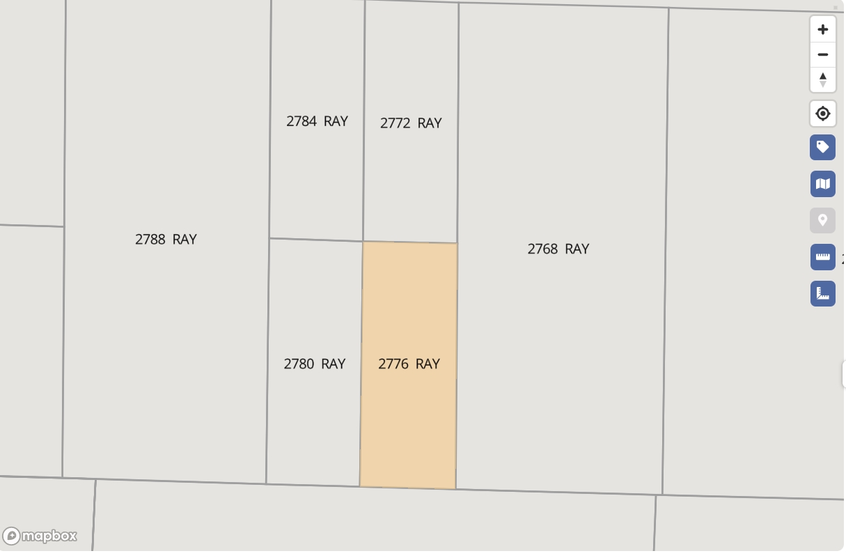
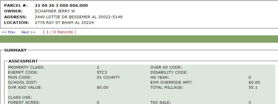
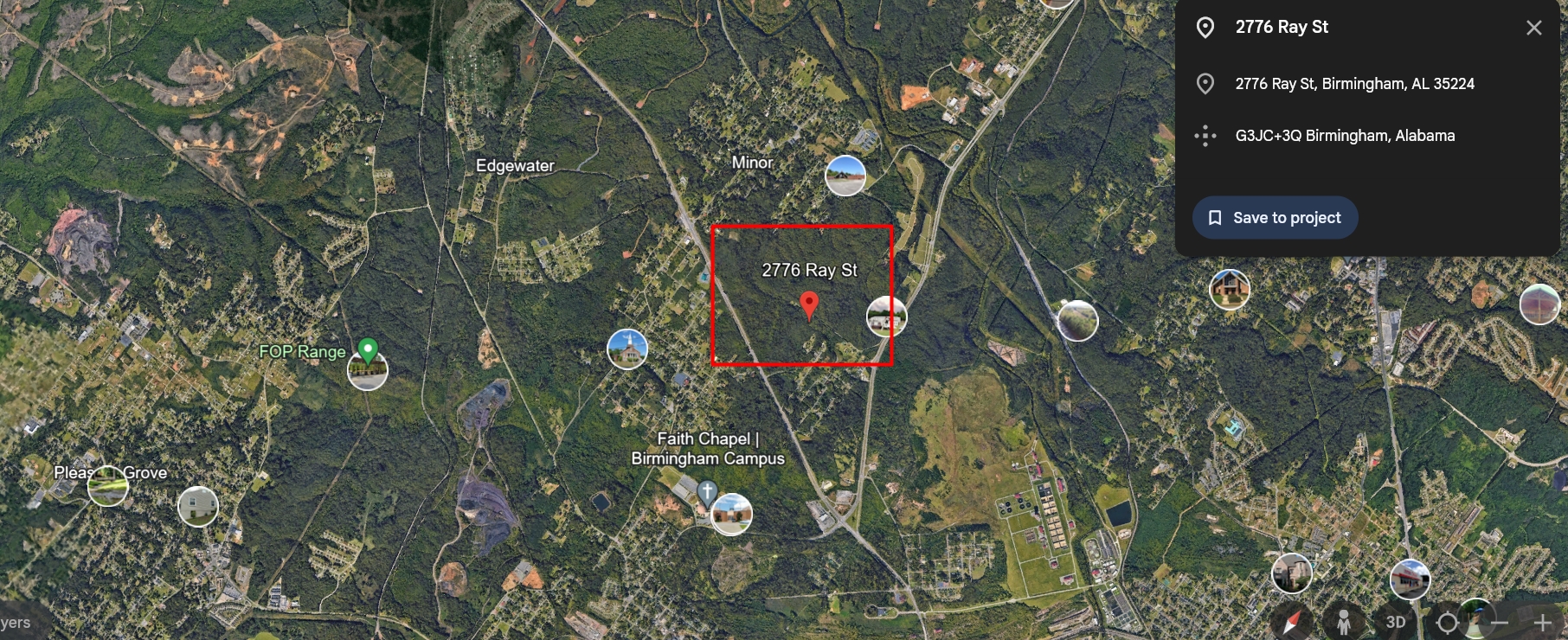
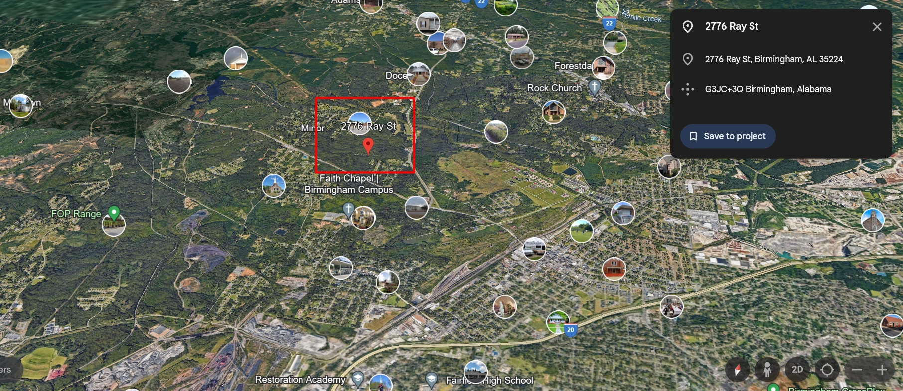
| Parcel ID | 2100263000006000 |
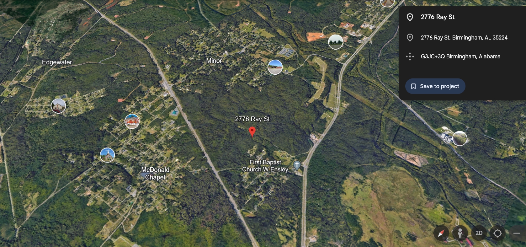
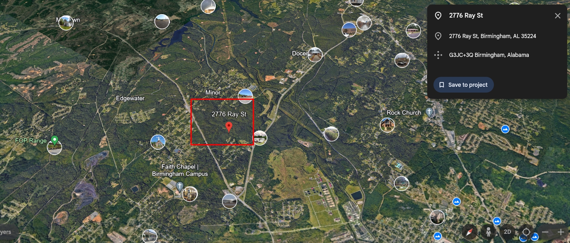
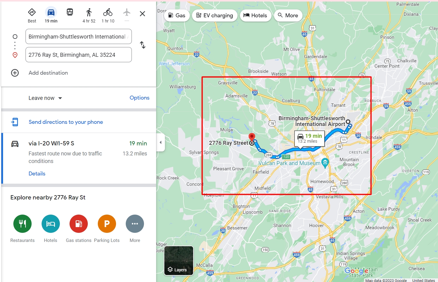
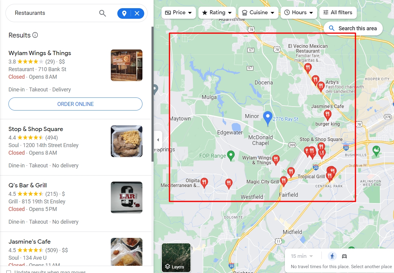
| County | Jefferson, AL |
| Municipality | Birmingham |
| Place | Birmingham city |
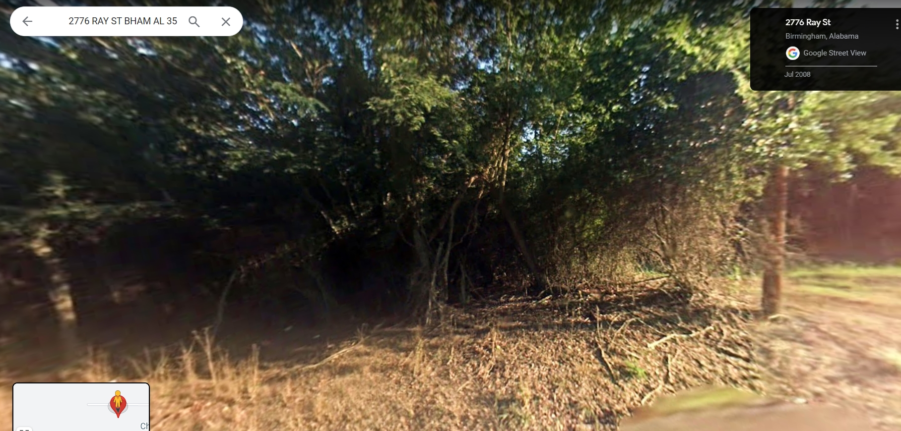
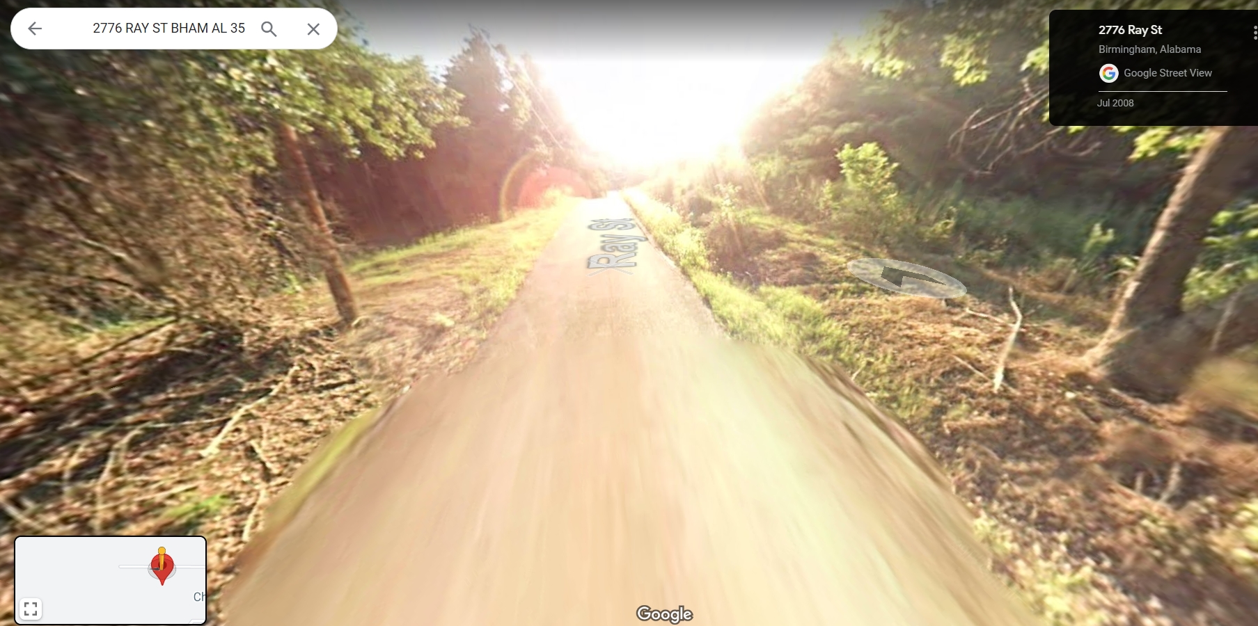
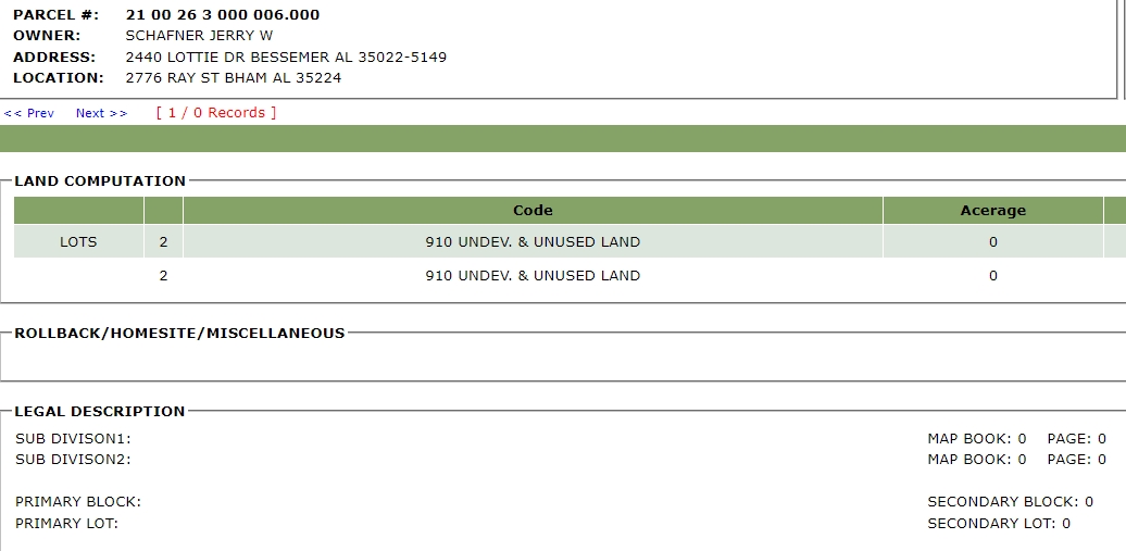
| Acreage | 0.00 (deeded), 0.22 (calculated) |
| Land Use Class | Residential |
| Land Use Code | R |
| Land Cover | Developed Open Space: 0.13ac (60.1%), Mixed Forest: 0.09ac (39.9%) |
| Elevation (Ft) | 592 |
| Owner Occupied | No |
| USPS Residential | Residential |
| Num Buildings | 0 |
| Legal Description 1 | BEG 528 FT W OF & 165 FT S OF NE COR OF SW 1/4 TH S 155 FT TH W 61 FT TH N 155 FT TH E 61 FT TO POB LYING IN NE 1/4 OF SW 1/4 SECT 26 TWSP 17S RANGE 4W |
| School District | Birmingham City School District |
| Updated | 2024-Q1 |


Reviews
There are no reviews yet.