

Description
| Property Details | |
|---|---|
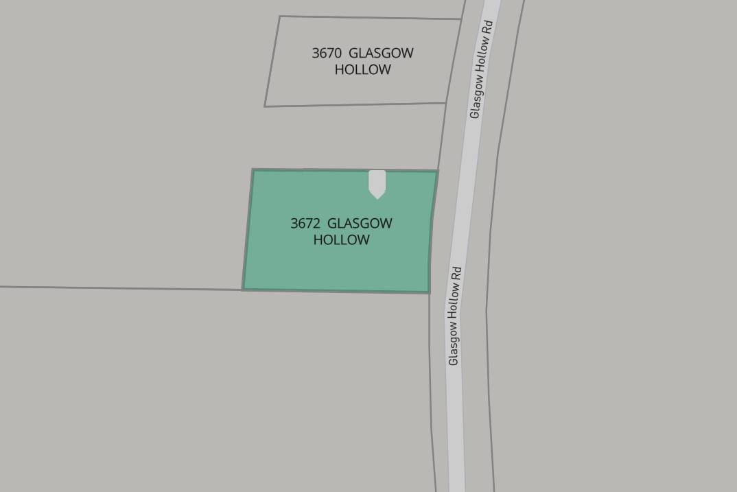
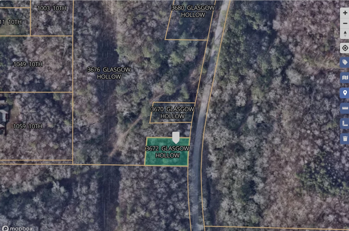
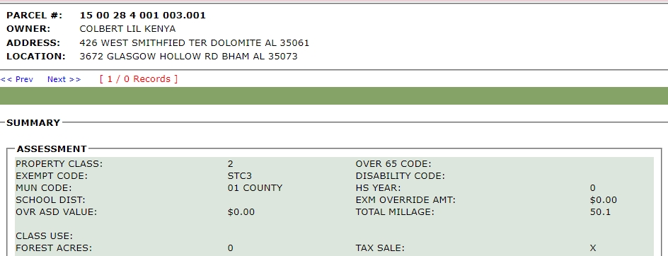
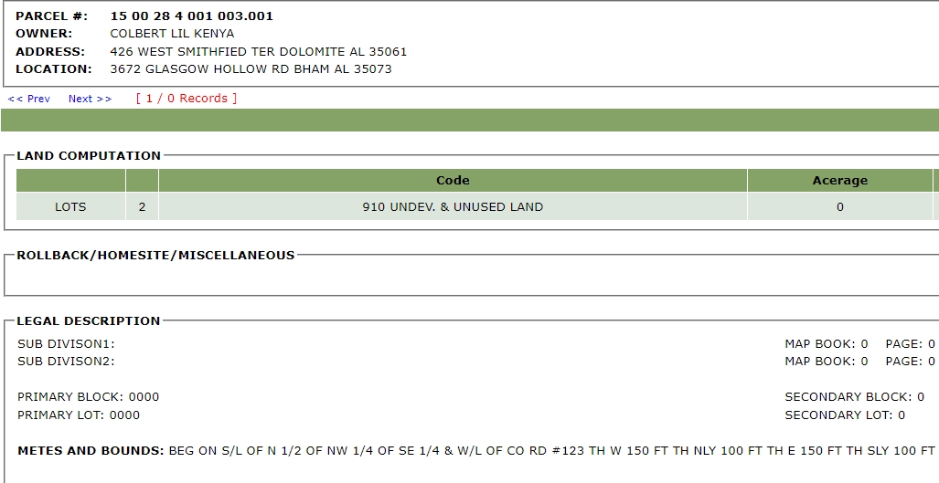
| Parcel ID | 1500284001003001 |
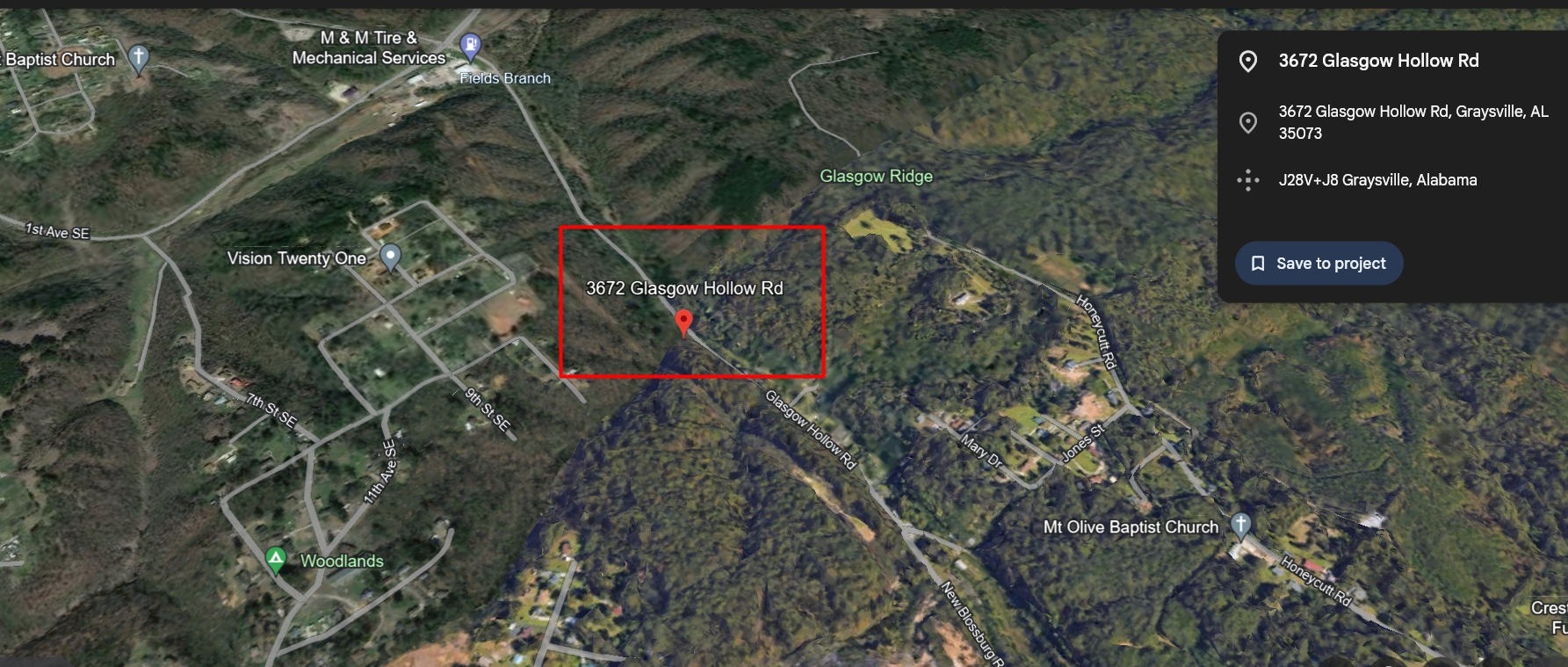
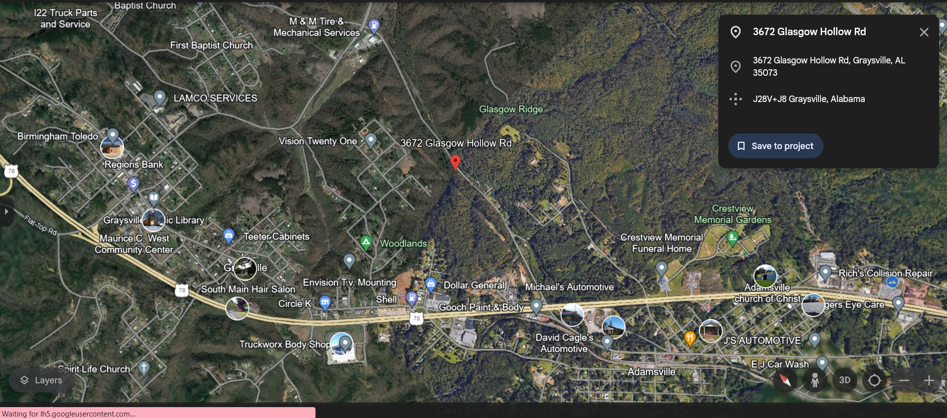
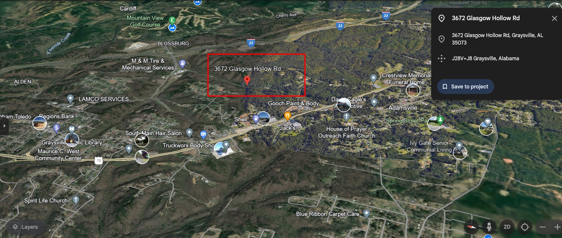
| County | Jefferson, AL |
| Municipality | Graysville-Adamsville |
| Acreage | 0.00 (deeded), 0.34 (calculated) |
| Land Use Class | Residential |
| Land Use Code | R |
| Land Cover | Mixed Forest: 0.19ac (54.1%), Deciduous Forest: 0.16ac (45.9%) |
| Elevation (Ft) | 422 |
| Owner Occupied | No |
| USPS Residential | Residential |
| Num Buildings | 0 |
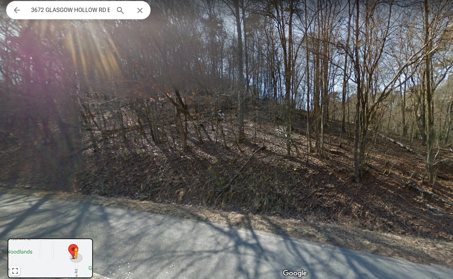
| Legal Description 1 | BEG ON S/L OF N 1/2 OF NW 1/4 OF SE 1/4 & W/L OF CO RD #123 TH W 150 FT TH NLY 100 FT TH E 150 FT TH SLY 100 FT TO POB SEC 28 TWP 16 R 4 |
| School District | Jefferson County School District |
| Updated | 2024-Q1 |


Reviews
There are no reviews yet.